Water discovery and world map
Search by country, region or source name, and explore a real world map. Source records appear only once a verified dataset is connected; until then a clearly labelled sample area shows how they will look.
Open
Global water discovery and community action
Discover water around you, understand the challenges, explore practical solutions and help build a world where water information is accessible to everyone.
Explore. Discover. Connect. Empower.
For households, students, researchers, farmers, schools, water suppliers, communities, humanitarian and environmental organisations, and policymakers worldwide.
Community borehole
Reported working
Free
0.4 km
Kiosk — vendor tap
Reported low flow
Sample price
0.9 km
School standpipe
Update 2 days ago
Free
1.3 km
Invented preview only. WaterScape does not yet hold live or verified water-source data for any country.
The problem
In many places around the world, people, farms, schools and agencies must make water decisions without a clear, shared picture of what is available, safe and affordable. Underserved communities feel this gap most.
No easy way to know which water point is working today.
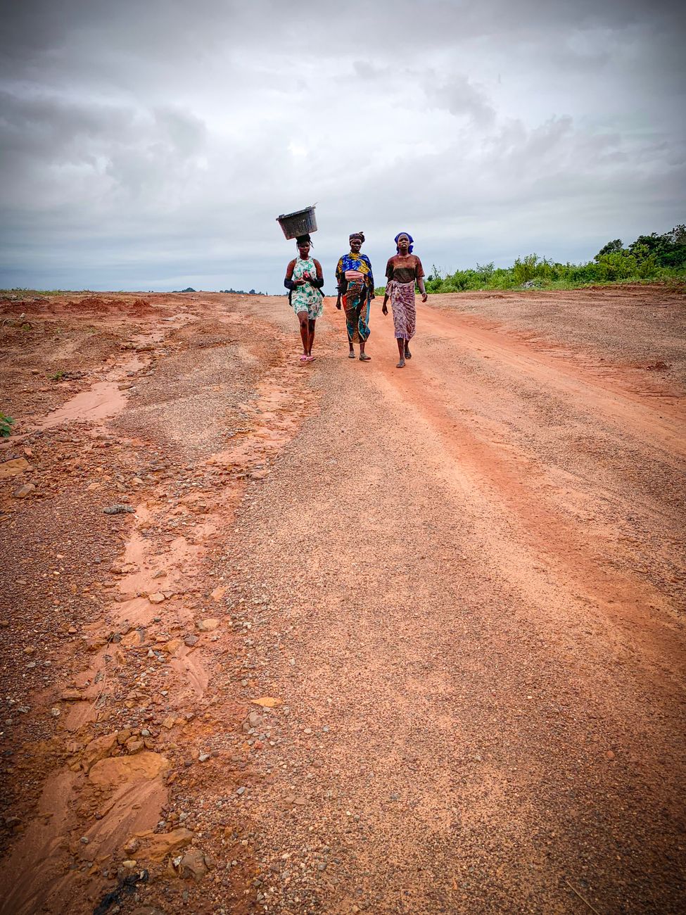
Reliable water often sits at the end of a long walk.
The cost changes from vendor to vendor, with nothing to compare.
Problems go unreported, so the next family finds out the hard way.
Useful datasets sit in separate portals, formats and languages.
Clear-looking water is not always safe, and test results are hard to find.
WaterScape is a global water discovery, intelligence, education and community action platform. It is designed to bring water-source information, availability, affordability, safety education and community reports into one transparent experience, so people can understand water issues and act on them.
WaterScape is an early-stage concept. No verified water-source dataset is connected yet, and every example on this page is illustrative.
Core features
Each tool opens in the working app. Everything runs on illustrative sample data until verified sources are connected.
Search by country, region or source name, and explore a real world map. Source records appear only once a verified dataset is connected; until then a clearly labelled sample area shows how they will look.
OpenCharts that state what they measure, where the data comes from, the time period, units and limits. Where no data is connected, you see "No data connected" instead of an invented number.
OpenConvert quantities to cost per litre before comparing, and see whether a price is official, supplier-reported, community-reported or a sample.
OpenA guided report for shortages, broken infrastructure and suspected contamination. Reports stay on your device until a reports service is connected, and are never shown as verified.
OpenStorage, treatment, contamination awareness and ten-step problem guides, with links to WHO and UNICEF guidance. Not a substitute for local public-health advice.
OpenWatch sample records move through validation, standardisation and integration, or check your own CSV or JSON file privately on your device.
OpenWaterScape Data Intelligence Lab
Every number WaterScape shows must answer five questions: where did it come from, when was it collected, how was it processed, was it verified, and what are its limits. The Lab lets you run a simulated exercise and watch each step.
The Lab is a simulation using invented records. No external system is connected and no live data is transmitted.
Knowing where safe water is should be the easy part.
WaterScape is built around one belief: transparent, shared information gives every community, farm and school a head start.
Explore a sample of the experience WaterScape aims to offer. Every point, price and report below is fictional.
Selected demo point
Riverside Community Borehole
Borehole · 0.4 km · Free
Invented prices in made-up currency units, for illustration only.
1.Hillside Vendor
Water seller
4 units / 20 L
Lowest demo price in this sample
2.Market Road Kiosk
Vendor kiosk
5 units / 20 L
3.Valley Cart Supply
Cart delivery
6 units / 20 L
4.Roadside Tanker
Tanker delivery
8 units / 20 L
Three steps take you from finding water information to understanding it and acting on it. Every step is designed to work on a phone.
Pick your country or region, search by place or source name, and open the map. No location sharing is needed. Source records appear only where verified data exists, and each shows its provenance.
Check availability, accessibility and cost per litre side by side, and see whether each figure is official, supplier-reported, community-reported or a sample.
Report a problem, work through a guided solution, or contribute a dataset. Contributions are labelled unverified until they are checked.
The WaterScape app
Open the working demonstration below. It runs on illustrative sample data, saves your choices only on your own device, and keeps pages you have opened available when your signal drops.
Access your community water information more conveniently from your phone.
Install from your browser
An install button appears here automatically if your browser supports one-tap installation.
This installs WaterScape from the website as a web app. It is not an APK and is not published in an app store. On Android, use Chrome or another browser with an “Install app” option, and open the site over a secure (https) address.
Demonstration notice: there are no verified water sources, live monitoring or sign-in yet. A production version would connect a verified source registry, a reports service and an authentication provider.
Clear, shared information about water can help households, farms, schools and public bodies act sooner, spend wisely and look after one another, wherever they are. These are the benefits WaterScape aims to support.
Intended outcomes, not measured results.
WaterScape is an early-stage concept. Everything here describes what it aims to make possible.
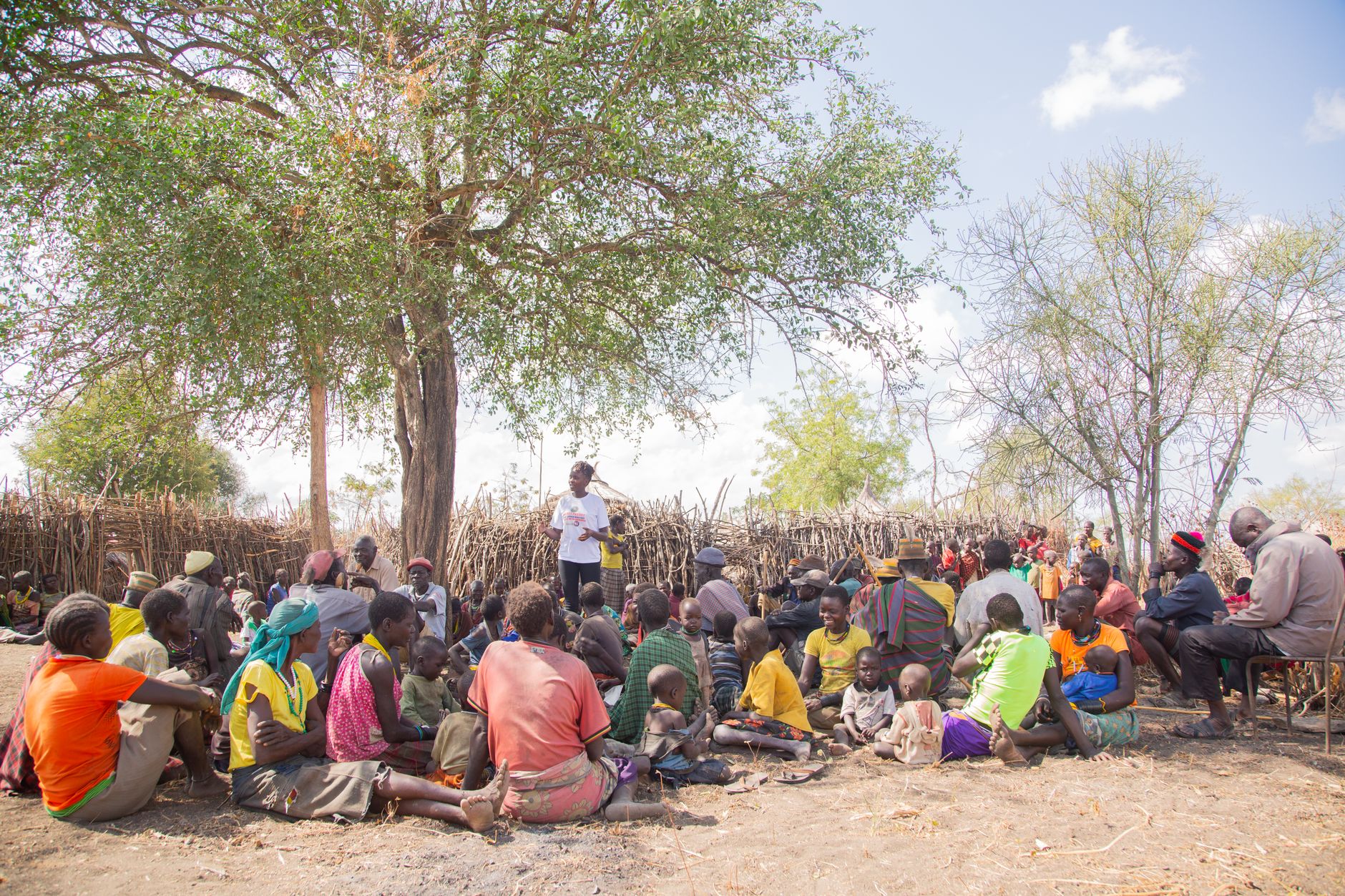
Knowing where water points are, and what has been reported about them, can help people spend less time searching.
Comparing cost per litre can help households, farms and institutions choose options that suit their budget.
Shared updates can help neighbours learn quickly when a water point is low, broken or inaccessible.
Clear, practical guidance on treatment and storage can help families reduce water-related risks.
When people can report and review local information, communities have a stake in how water is managed.
Transparent, aggregated information can give schools, researchers, utilities and agencies a clearer picture of local needs.
Note:These are intended outcomes, not measured results.
About WaterScape
WaterScape aims to make water-related information more accessible, understandable and actionable worldwide, by connecting people to source information, availability, affordability, safety education and practical community solutions.
To help people explore water information, understand where it comes from and take practical steps, from a household checking storage to an agency reviewing reported shortages.
A world where everyone can make better-informed decisions about water access, safety, affordability and sustainability, supported by information they can trace and trust.
Every feature starts from questions real people ask about water, from households and farmers to students, schools and local administrators.
We label what is illustrative, what is reported by users and what is verified. We will not present assumptions as facts.
Verified datasets, suppliers and local services can be integrated as they become available and permitted. Nothing is shown as connected until it is.
Share WaterScape
Loading link…
Water knowledge lives in households, farms, schools, utilities and agencies. Choose the pathway that fits how you can contribute.
Explore water information for your country or region, compare prices per litre and learn safe storage and treatment. You can also record shortages and access problems, clearly marked as unverified.
Be ready to share your service area, availability and prices once a verified supplier registry exists, so customers can compare options with confidence.
Schools, universities, research groups, humanitarian and environmental organisations and public bodies can help shape verified data sources and use the Learning Centre in their work.
Help review submitted information, translate learning content and test the app on real phones. Your time can make information more reliable and reach people who need it.
These pathways describe how people can take part once WaterScape is live. No partner organisations or memberships are in place yet.
Join the early-access list to help shape a global platform that makes water information easier to find, understand and act on. Your name, email and role are stored for early-access updates only.